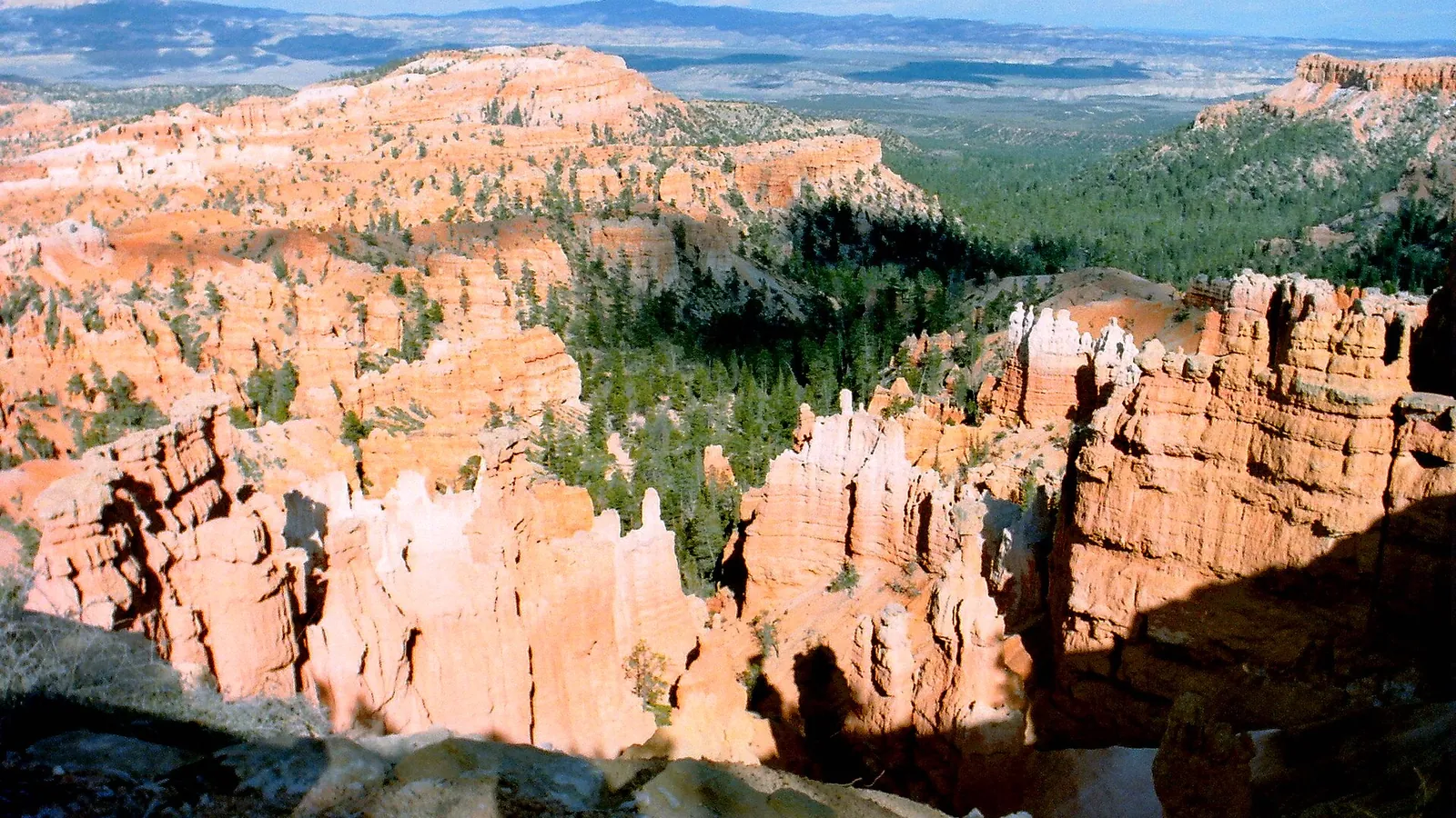
The drive from Zion to Bryce Canyon is roughly 85 to 87 miles by the direct route, or about 1 hour 50 minutes of driving without stops. The road runs east through Zion on the Zion–Mt. Carmel Highway, north on US-89, then east on Utah 12 to the Bryce Canyon turnoff. The National Park Service (NPS) does not publish a single distance between the two parks, so the 87-mile figure is derived from NPS’s own comparison with a longer alternate route, explained below. For the park itself, see our Zion National Park travel guide.
Key points
- Direct route: UT-9 east through Zion, US-89 north, UT-12 east, UT-63 south into Bryce. About 85 to 87 miles, roughly 1 hour 50 minutes.
- Oversize vehicles: NPS routes them around Zion via UT-20 north of Cedar City, about 150 miles and 2.5 hours.
- Day trip: possible from Springdale with an early start, but it means about four hours of driving.
- Winter: Zion’s east highway and Bryce’s scenic drive can close for snow, so check NPS and UDOT before you go.
- Distances and times here are estimates. Traffic, tunnel delays and weather change them.
In this guide
The direct route from Zion to Bryce Canyon
NPS’s directions for Bryce describe the same route: take UT-9 east through Zion to US-89, go north on US-89 to UT-12, east on UT-12 to UT-63, then south on UT-63 to the park. The Bryce Canyon Visitor Center sits 1 mile inside the park boundary.
| Leg | Road | What to know |
|---|---|---|
| Zion Canyon or Springdale to the East Entrance | UT-9 (Zion–Mt. Carmel Highway) | Passes through the Zion–Mt. Carmel Tunnel. NPS says speeds are usually under 30 mph. |
| East Entrance to Mt. Carmel Junction | UT-9 | The East Entrance is 13 miles west of the junction, according to NPS. |
| Mt. Carmel Junction north | US-89 | Continue north to the UT-12 turnoff. |
| US-89 to Bryce Canyon | UT-12 east, then UT-63 south | UT-12 runs through Red Canyon before the Bryce turnoff. |
NPS’s Bryce directions also describe a route from Cedar City over Utah 14 to US-89, which NPS calls very scenic in summer and early fall. It is an option if you are coming from Cedar City rather than through Zion.
How far is it, and how long does it take?
NPS’s Zion directions page gives one hard comparison. For visitors whose vehicles are too large for the Zion–Mt. Carmel Highway, it describes an alternate route to Zion’s South Entrance by way of Utah 20 north of Cedar City, and lists the Bryce Canyon version as roughly 150 miles and 2.5 hours. NPS says this detour is 63 miles longer than the Zion–Mt. Carmel route but adds only about 42 minutes, because the state highways allow much higher speeds than the Zion–Mt. Carmel Highway, which NPS says usually stays under 30 mph. Subtracting gives about 87 miles and about 1 hour 48 minutes for the direct route between Zion’s South Entrance area and Bryce Canyon. NPS does not name the exact Bryce Canyon end point. Some third-party guides measure visitor center to visitor center and report 84 to 85 miles, so this guide uses 85 to 87 miles as the planning range.
| Route | Approx. distance | Approx. time | Who it suits |
|---|---|---|---|
| Direct: UT-9, US-89, UT-12 | about 85 to 87 miles (NPS comparison implies about 87) | about 1 hr 50 min (derived) | Most passenger vehicles |
| Alternate: I-15, UT-20, US-89, UT-12 | about 150 miles (NPS) | about 2.5 hours (NPS) | Vehicles over the Zion–Mt. Carmel Highway size limits |
Start and end points matter. NPS describes the alternate route as running to Zion’s South Entrance (Springdale), so that is the start point behind the comparison. Starting at the East Entrance, or ending at Bryce Point rather than the visitor center, shifts the time. Add time for photo stops, for the tunnel, and for traffic in summer.
Large vehicles and the Zion–Mt. Carmel Highway
Since June 7, 2026, NPS has applied size and weight limits to the Zion–Mt. Carmel Highway between Canyon Junction and the East Entrance. For a single vehicle the limits are 35 feet 9 inches long, 7 feet 10 inches wide, 11 feet 4 inches tall and 50,000 pounds, including mirrors, tires and attachments such as bike racks. For a vehicle with a trailer, NPS lists a total length of 50 feet, a trailer no more than 26 feet from hitch to rear axle, and the same width, height and weight limits. Vehicles over the limits cannot drive that stretch and must reroute; vehicles that exceed the limits can still reach Zion Canyon through the South Entrance. NPS’s large-vehicle page was last updated September 2, 2026. Measure before you travel, and call the park at 435-772-3256 if you are close to a limit.
Driving through the park also means paying Zion’s entrance fee or showing a valid pass. NPS says the fee is required to enter the park.
Worthwhile stops between the parks
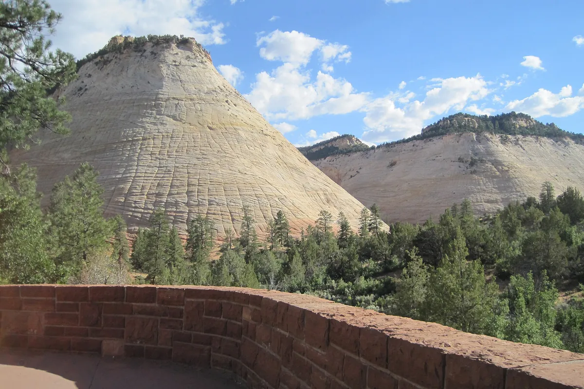
- Checkerboard Mesa pullout, Zion: an NPS photo places this landmark along the Zion–Mt. Carmel Highway near the East Entrance.
- Canyon Overlook Trailhead, Zion: a short trail just east of the tunnel. NPS says its parking is extremely limited, so treat it as a bonus stop. Our guide to the best hikes in Zion National Park covers it.
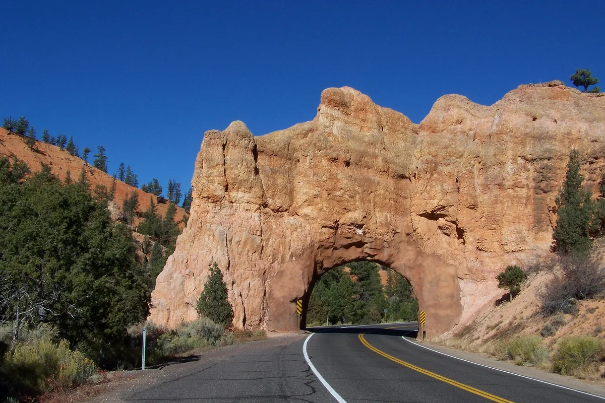
- Red Canyon, Dixie National Forest: Utah 12 passes through two red rock arch tunnels here, and the Forest Service visitor center is a few miles east of the US-89 junction, about 13 miles from Bryce Canyon. The Forest Service says visitor center hours vary during the 2026 season (from June 17, Friday to Sunday 8:30 am to 5 pm and Monday to Thursday 10 am to 3 pm) and expects it to close for the season on October 16, 2026, so check before you stop.
Can you visit Bryce Canyon as a day trip from Zion?
Yes, but it is a long day. The driving alone comes to about 3.5 to 4 hours round trip, and Bryce’s best viewpoints are spread along an 18-mile park road. A day trip works best when you leave Springdale early, focus on the Bryce Amphitheater viewpoints, and head back with daylight left. If you want to hike into the canyon or see the southern end of the park, staying overnight near Bryce, in Kanab or along US-89 makes the trip less rushed.
- Day trip outline: leave Springdale early, stop at Red Canyon on the way, spend the middle of the day on the rim viewpoints, and begin the return in the afternoon.
- Overnight outline: drive east on day one with stops, spend the afternoon at the viewpoints, stay near the park, and use the next morning for a hike or the southern scenic drive.
Seasons, shuttles and road conditions
Elevation is the main difference between the two parks. NPS lists Bryce Canyon’s visitor center at 7,894 feet, Sunset Point at about 8,000 feet and Rainbow Point at 9,115 feet, so it is noticeably cooler than Zion Canyon and can have snow when Zion does not.
- Winter: NPS says the Zion–Mt. Carmel Highway is sometimes closed for snow, ice, rockfall or traffic congestion. NPS’s Bryce page points drivers to UDOT’s traffic site for roads outside the park. See our guide to Zion National Park in winter for access details.
- Bryce shuttle: NPS lists the 2026 shuttle season as April 3 to October 18, with hours that vary by month. It is free with park admission and not mandatory, though NPS highly recommends it because of congestion and limited parking at viewpoints. Dates change each year, so check the NPS shuttle page.
- Summer: NPS notes lightning is most common during July and August thunderstorms.
- Construction closures: NPS announced overnight closures of the Zion–Mt. Carmel Tunnel (9 p.m. to 6 a.m., September 21 to 30, 2026) for a UDOT fiber-optic project. Those dates have passed, but similar work can recur, so check NPS and UDOT before driving at night.
Bryce Canyon to Zion
The return trip uses the same roads in reverse: UT-63 north, UT-12 west, US-89 south, then UT-9 west into Zion. The tunnel and the highway’s slow speeds apply in both directions, and Zion’s entrance fee applies if you drive through the park. In shuttle season, plan to leave your car and use the Zion shuttles inside the canyon.
Fees and getting there without driving
NPS lists Bryce Canyon’s private vehicle entrance fee as $35 (page updated May 14, 2026), payable by card. NPS shuttles operate inside each park rather than between them. NPS says public transportation to Bryce Canyon is not available (directions page, updated May 2024), so reaching it without a car means a commercial tour operator, and we have not vetted any. If you are flying in, our guide to the closest airport to Zion National Park compares the options, and a one-way itinerary can avoid backtracking if you price the rental first.
Common questions
How far is Bryce Canyon from Zion? About 85 to 87 miles by the direct route; NPS’s own route comparison implies about 87 miles from Zion’s South Entrance.
Is there a time zone change? No. Both parks are in Utah, on Mountain time.
Can an RV take the direct route? Only if it is within NPS’s size limits for the Zion–Mt. Carmel Highway. Otherwise NPS directs vehicles through Cedar City on UT-20.
Sources
- NPS: Zion directions and transportation
- NPS: Zion large vehicles
- NPS: Bryce Canyon directions
- NPS: Bryce Canyon shuttle
- NPS: Bryce Canyon fees
- U.S. Forest Service: Red Canyon Visitor Center
- NPS: Large vehicle restrictions news release (January 5, 2026)
- NPS: Tunnel nighttime closures (September 15, 2026)